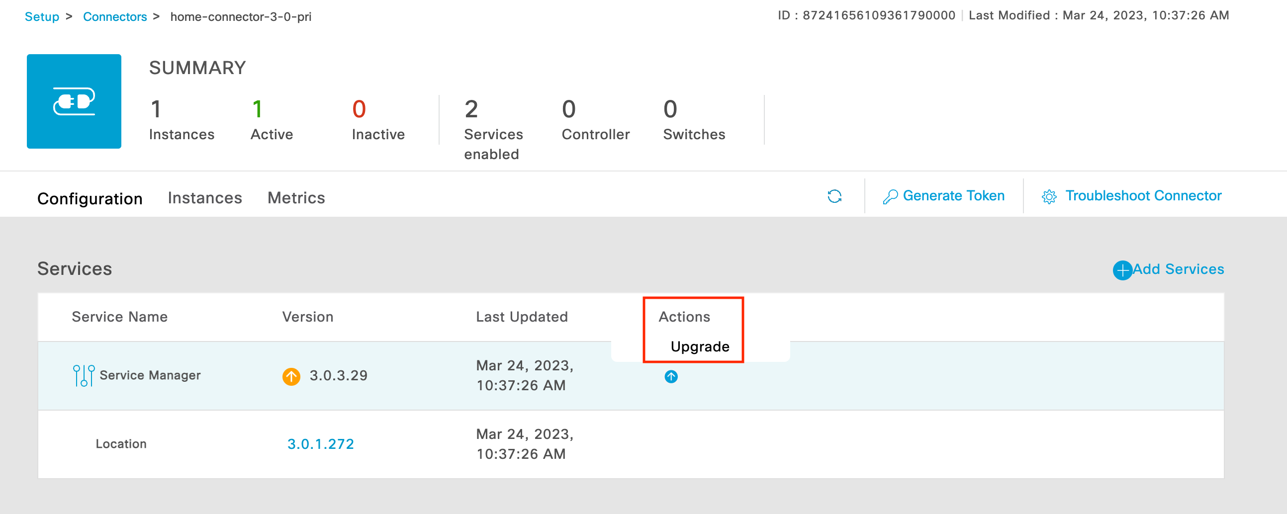
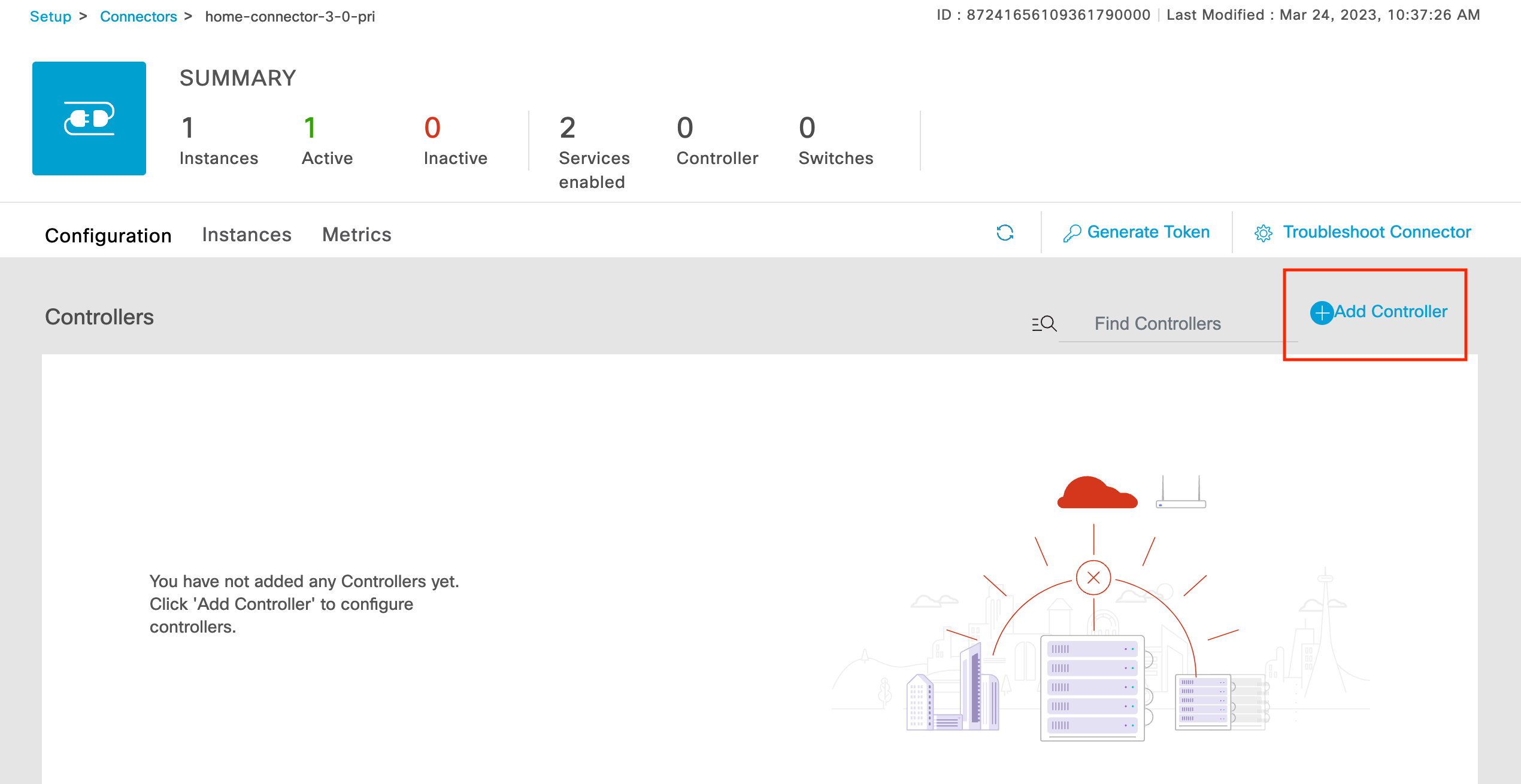
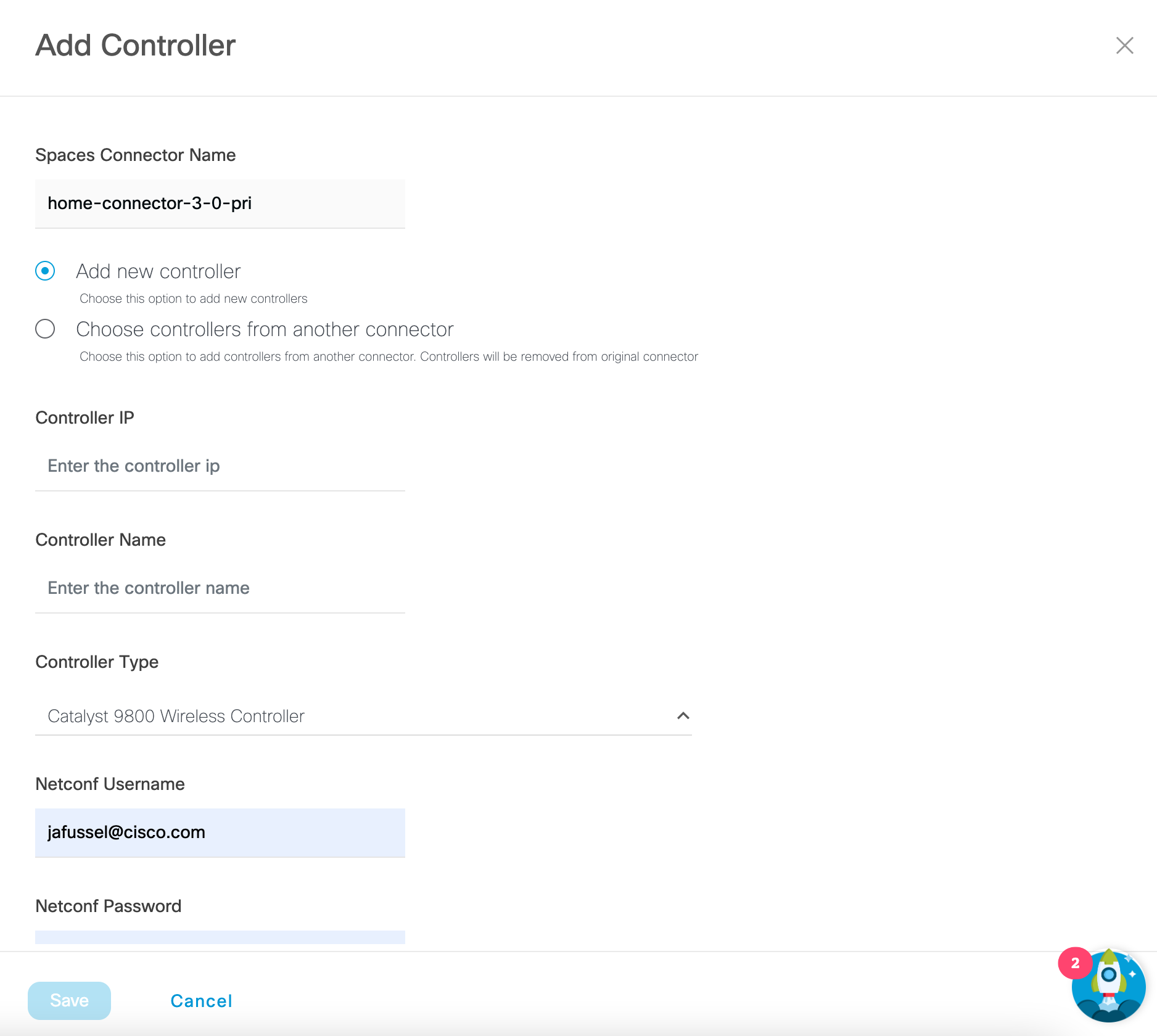
Migrate Spaces Connector 2.x to Connector 3 Click here >>
Automatically Detect AP locations
Provides a means to automatically determine AP locations and place them on a floor plan.
Value Delivered: Save time and simplify deployment
Useful to: IT Teams
Deploy APs Efficiently
Reduce deployment time, complexity and cost associated with verifying and placing APs on maps.
Value Delivered: Reduce troubleshooting effort
Useful to: IT Teams
Indoor Asset Location Accuracy
Enhanced precision in Indoor Asset Location. Achieve Accurate and Reliable Tracking of Assets within Indoor Environments.
Value Delivered: Improves operational efficiency
Useful to: IT Teams
Enhanced Dashboard Experience
Visualize and configure APs from the Spaces dashboard and drive Spaces outcomes faster and easier.
Value Delivered: Improved productivity
Useful to: IT teams

Note: WiFi 7 APs with built-in GNSS/GPS will require Connector 3.2 (Coming Soon) for GNSS/GPS to work with AP Auto Location.


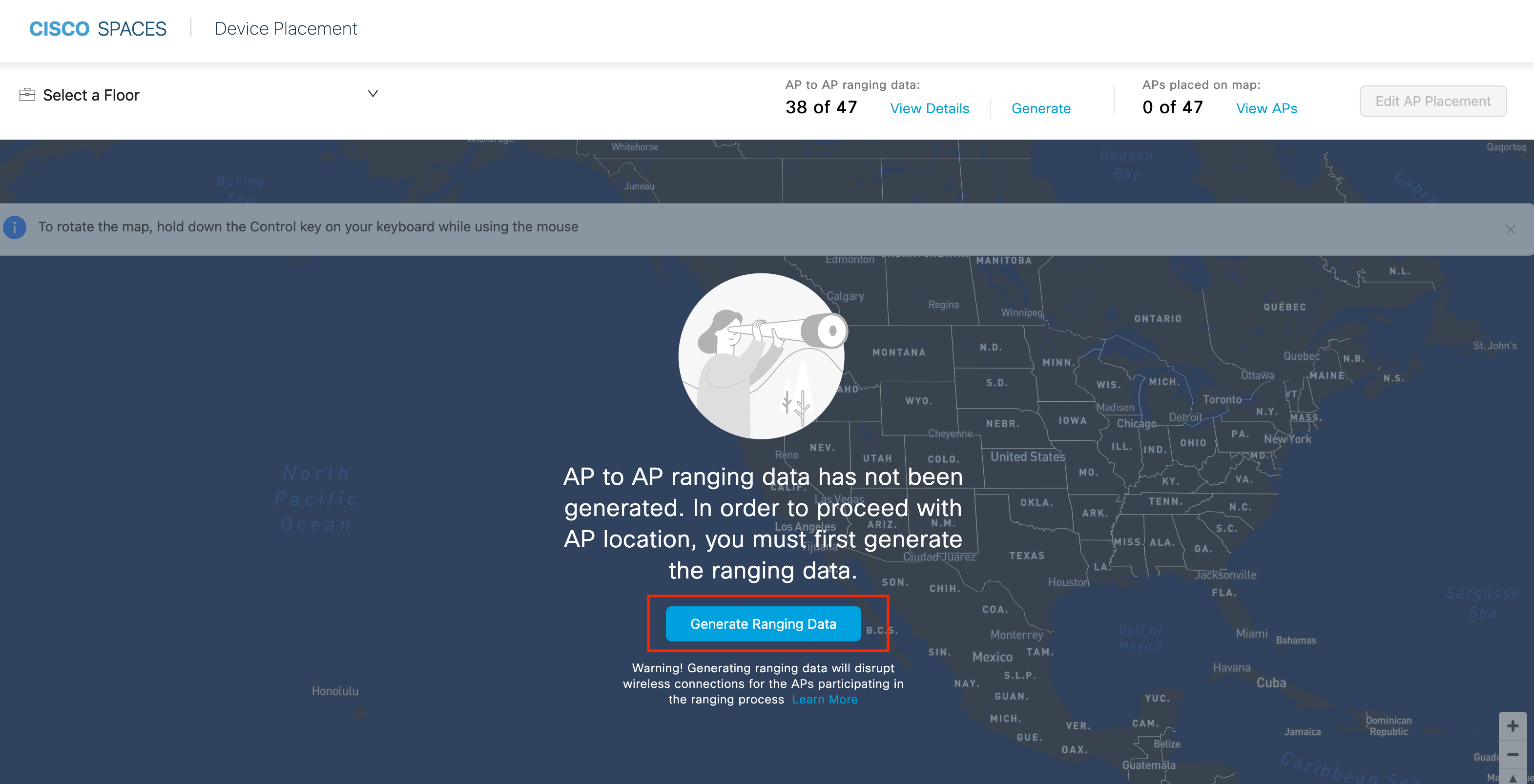
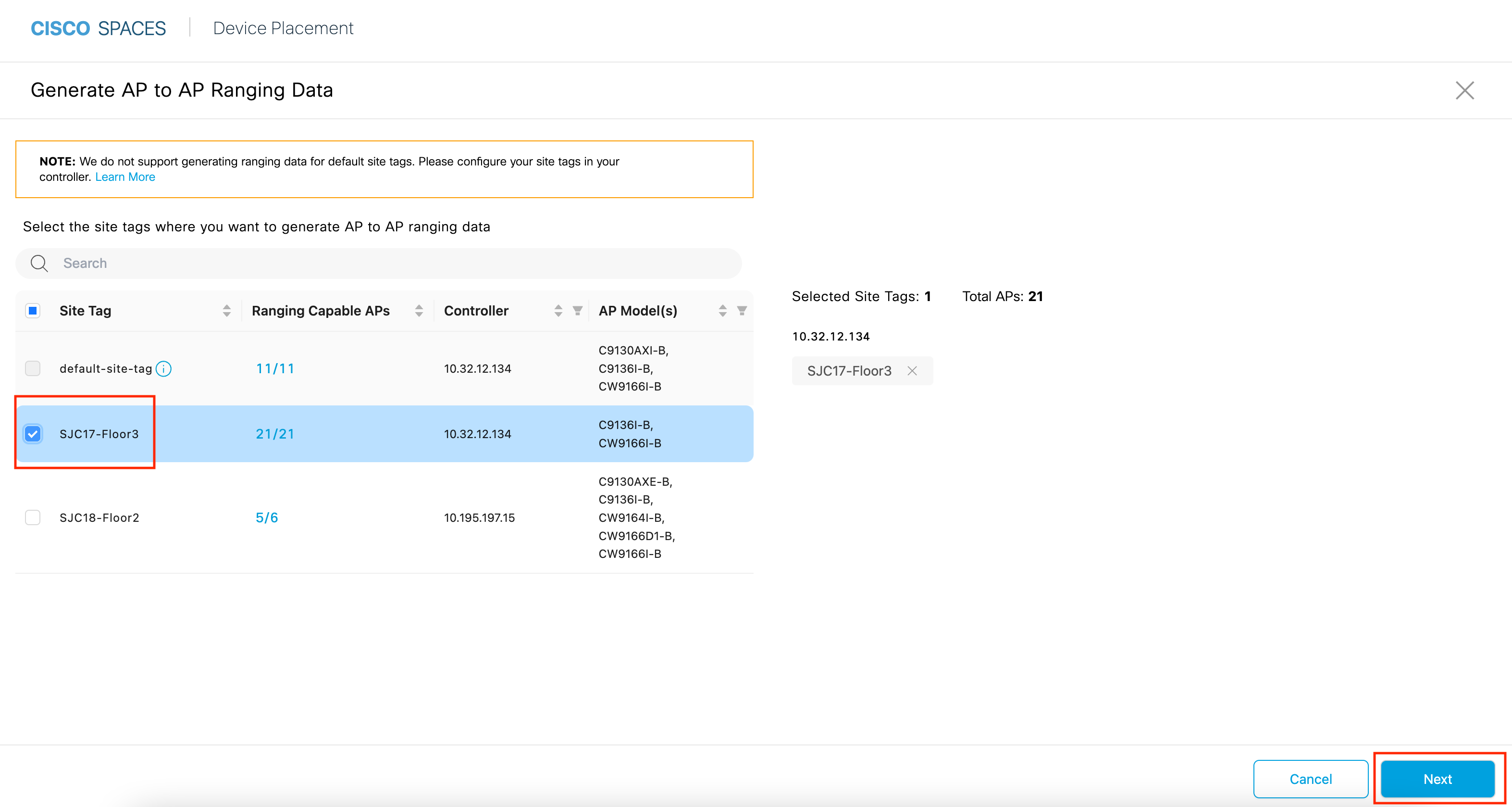
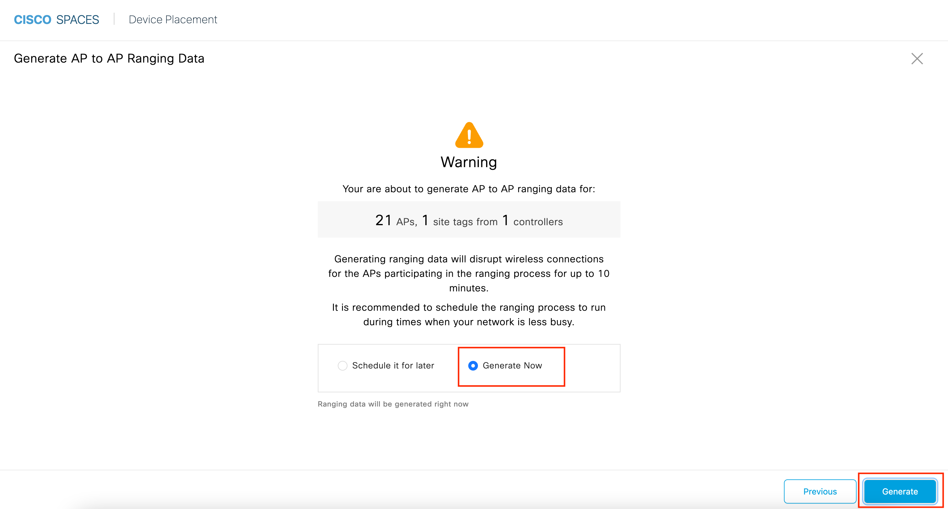
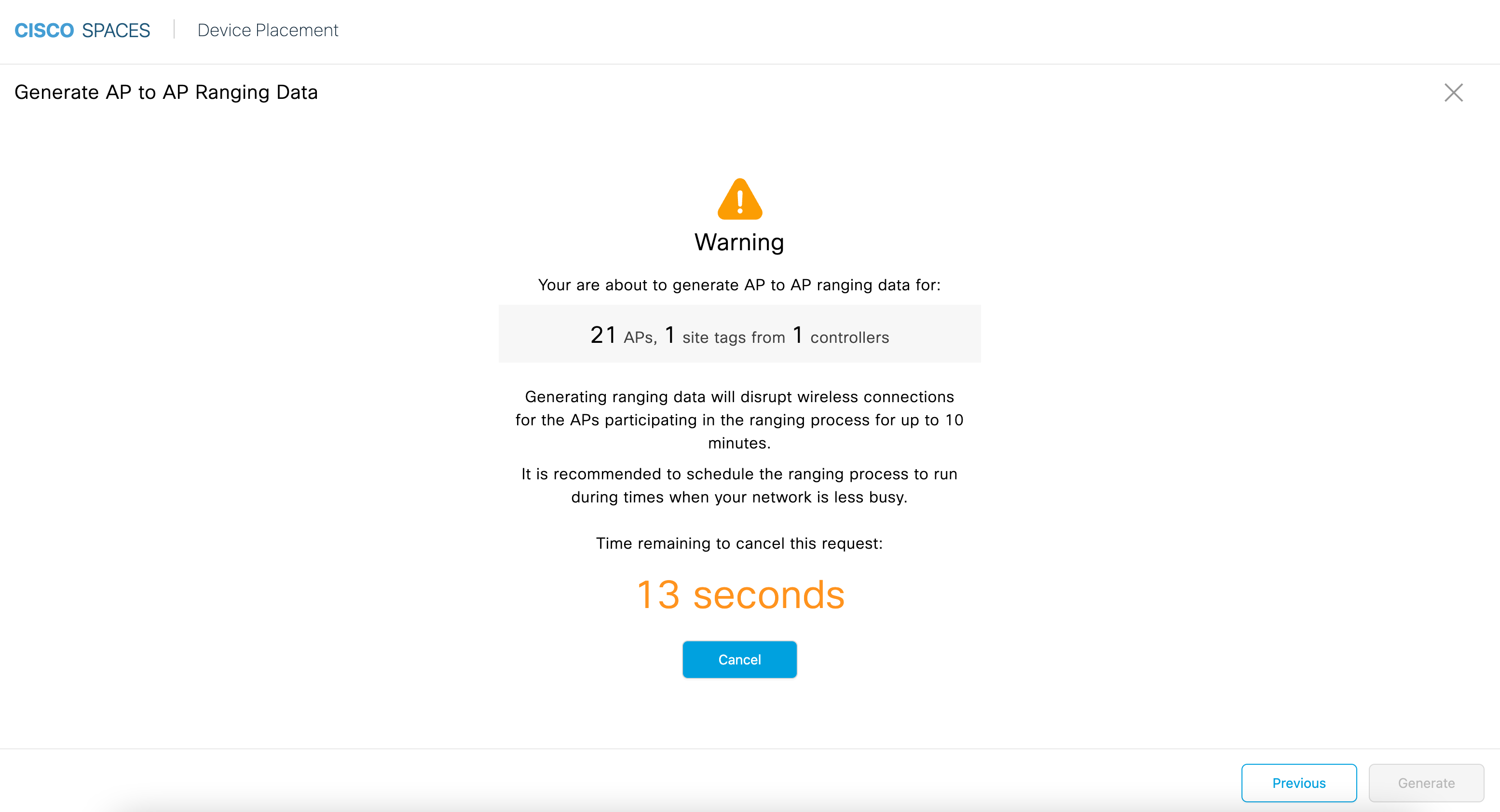
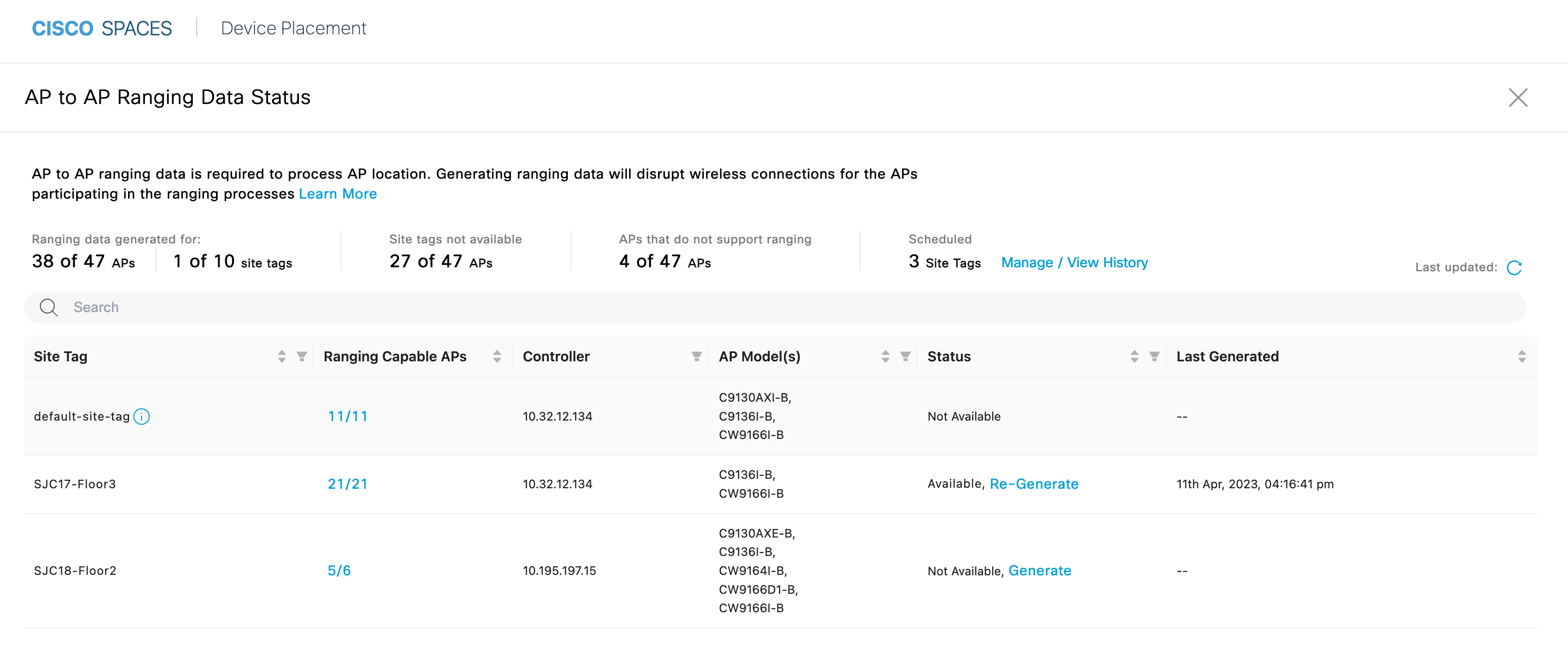
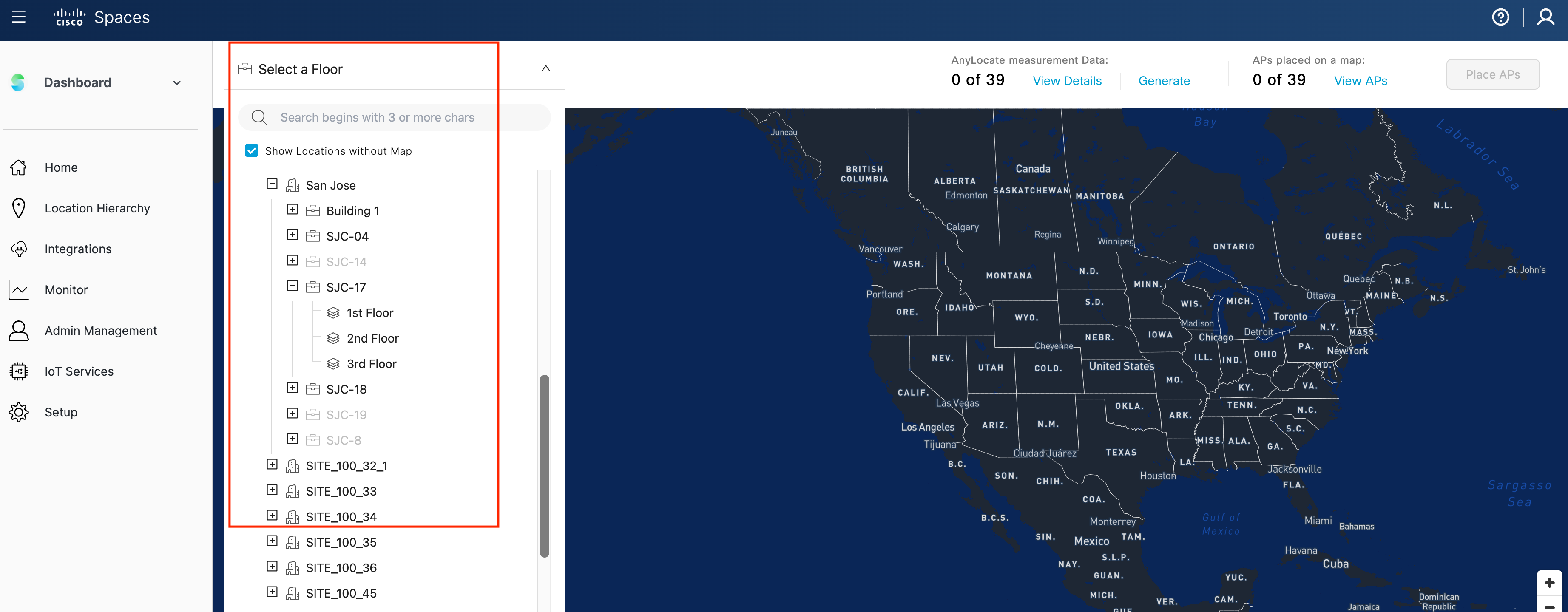
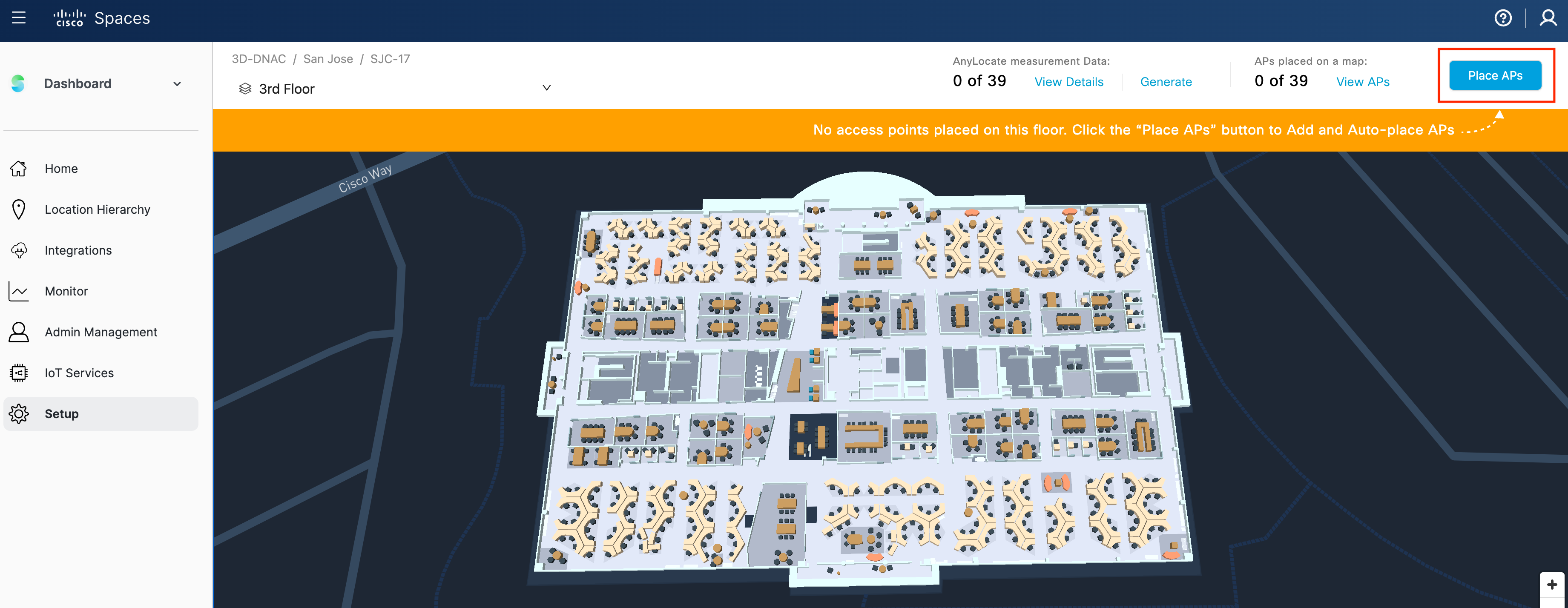
In order to begin the AP location process, we first need to generate the AP to AP ranging data for the desired APs. The steps below in this section will guide you through generating the AP to AP ranging data that will be used to Auto place your APs in Cisco Spaces.
About AP Ranging:
The “ranging” measurement process changes the channel of APs in the selected area to a common channel and uses Fine Time Measurement (FTM) to determine the distance between the APs. This process only needs to be run once, or when APs are moved or added to the environment. The measurement process is impactful to client performance and connectivity while it is running. This process can take up to 10 minutes to complete, and it is recommended to schedule the ranging process to run during times when your network is less busy.


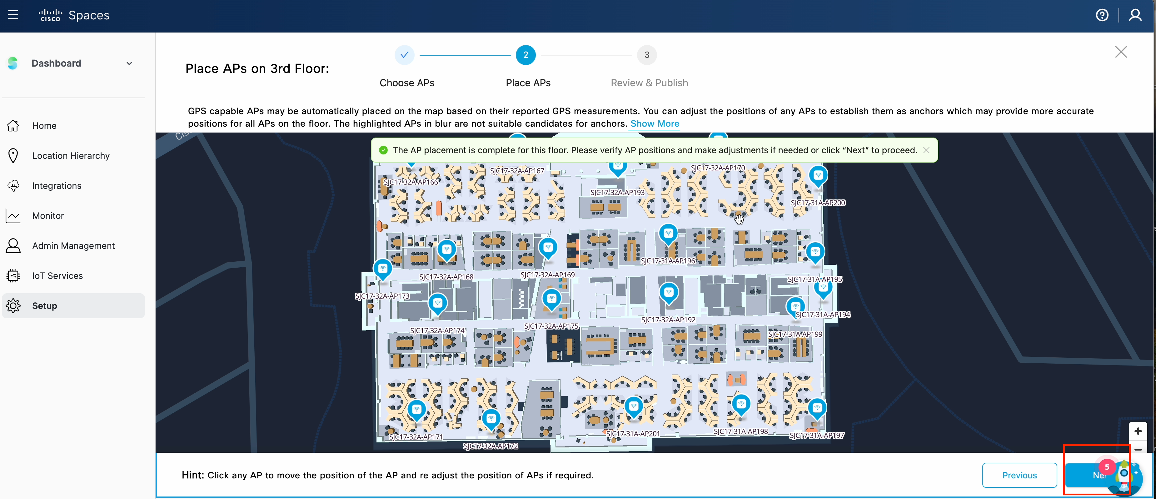
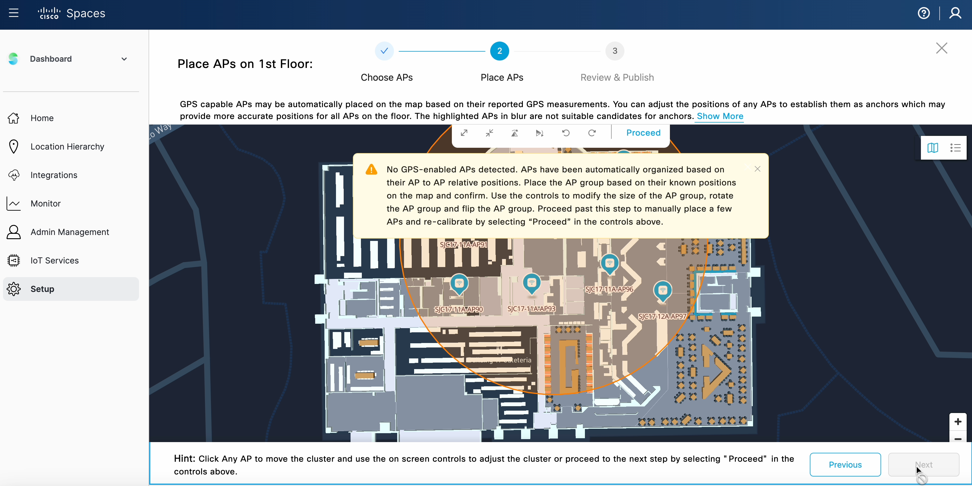
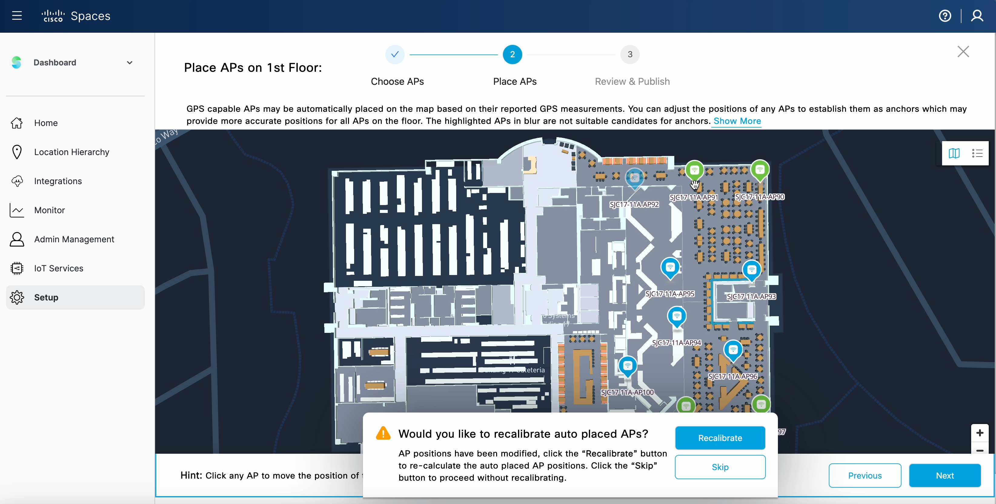
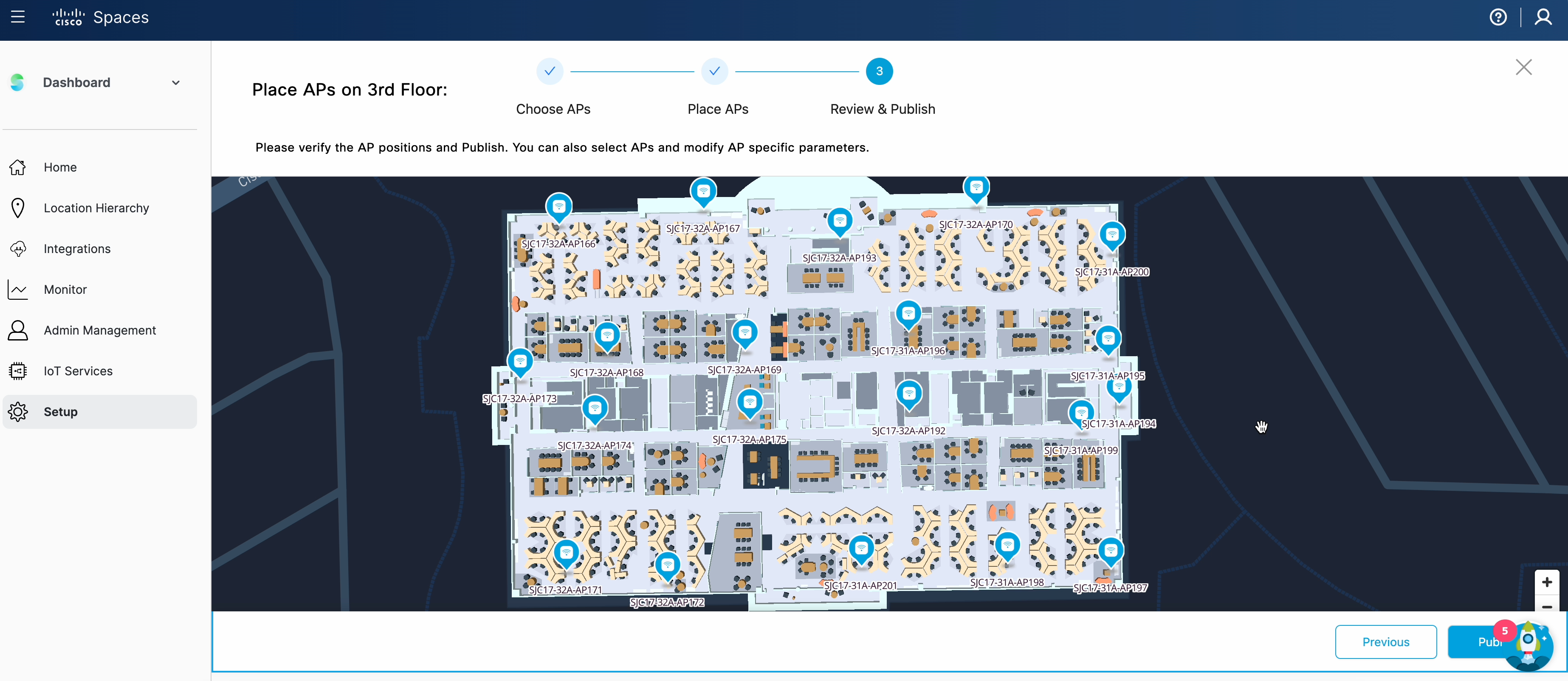
Now that the AP to AP ranging process is complete for the desired APs, Cisco Spaces has the needed data to place the APs. One of the key enhancements to the AP Auto Location feature is no longer needing to manually choose Anchor APs in either scenario: APs with GPS or without GPS.
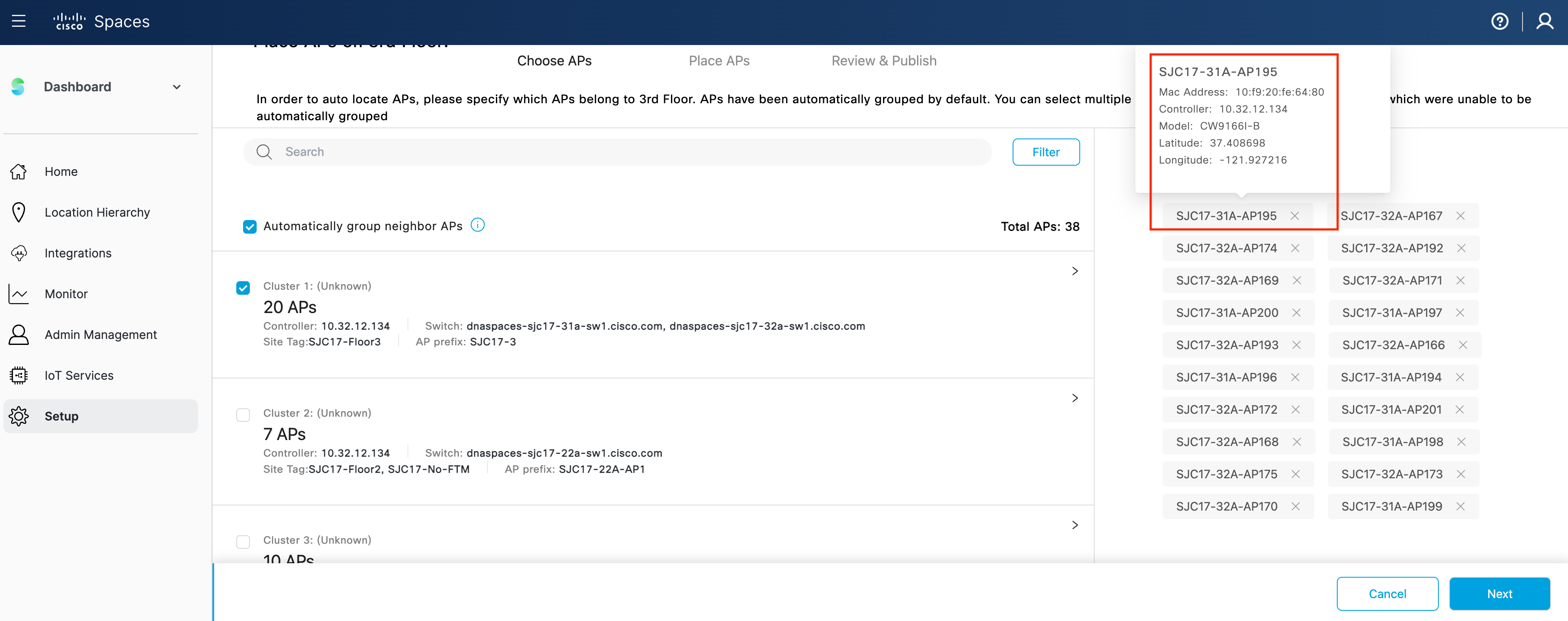
In the latest release, we have implemented AP Auto clustering which automatically groups APs into clusters based on information such as WLC, CDP information, site tag, AP name prefix, neighbor information and other potential sources of data.


Please take a moment to check if you’re able to successfully use the feature. Click on ‘yes’ to indicate it’s working. And on ‘Not yet’ if you need any assistance.
Please complete the following pre-requisites to setup AP Auto Location:
Note: At this time the AP Auto Location feature will not allow you to publish the map if there is an existing map from either Prime Infrastructure or Catalyst Center (formerly DNAC) with the same APs already placed. Also at this time Catalyst Center does not allow Spaces to sync the maps with the APs auto placed back to Catalyst Center (formerly DNAC).