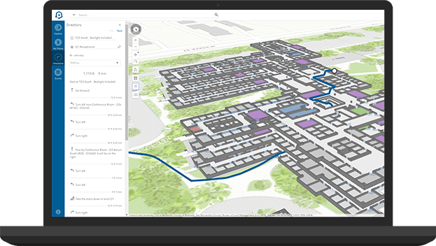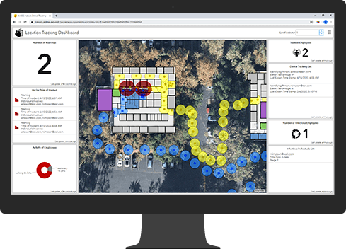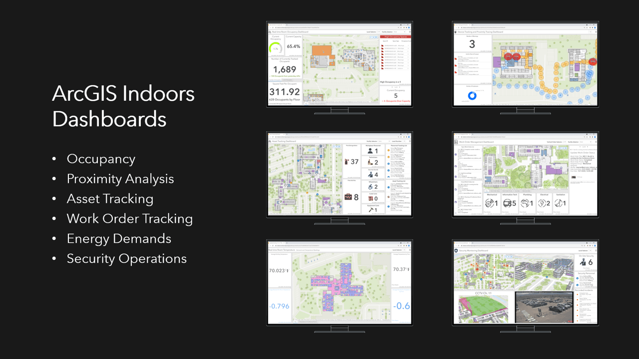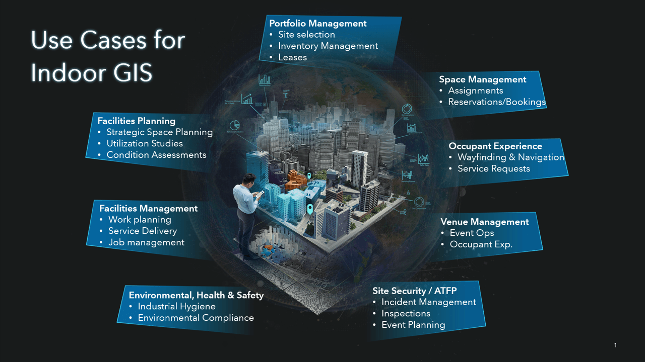
Organizations want a seamless, visual common-operating picture of their buildings and campuses. Taking a geographic approach, this picture, a map, can show the location of every possible structure and feature, from as-built environments and fixed assets to moving occupants and vehicles. Visualizing entire campuses, 3D buildings, POI’s, occupants, and other real-time sensor data are just a few ways a geographic approach operationalizes the future of buildings and campuses.
Esri builds the most comprehensive set of indoor/outdoor data creation, data management, visualization, analytic, and modeling software tools for facility and building operators. Together, Cisco DNA Spaces wifi data and Esri’s ArcGIS(r) Indoors software deliver next-generation campus- and space-management, operations, and planning in the cloud or on-premises.
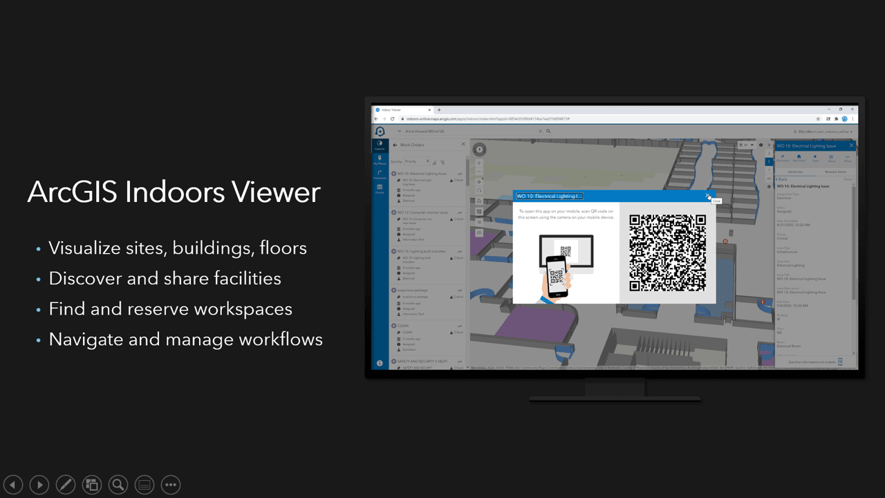
From the start of a smart-building project, ArcGIS Indoors takes the difficulty out of creating a facility digital system-of-record derived from CAD, BIM, Revit, imagery, and other spatial data. ArcGIS Indoors comprises a complete set of configurable, easy-to-use and fast GIS tools that convert, fix, update, or create new campus/building/floor maps and location data in 2D and 3D. Additional tools quickly turn these map data into navigation-quality networks through buildings and facilities, which then can be leveraged by ArcGIS Indoors ready-to-use web and mobile apps.
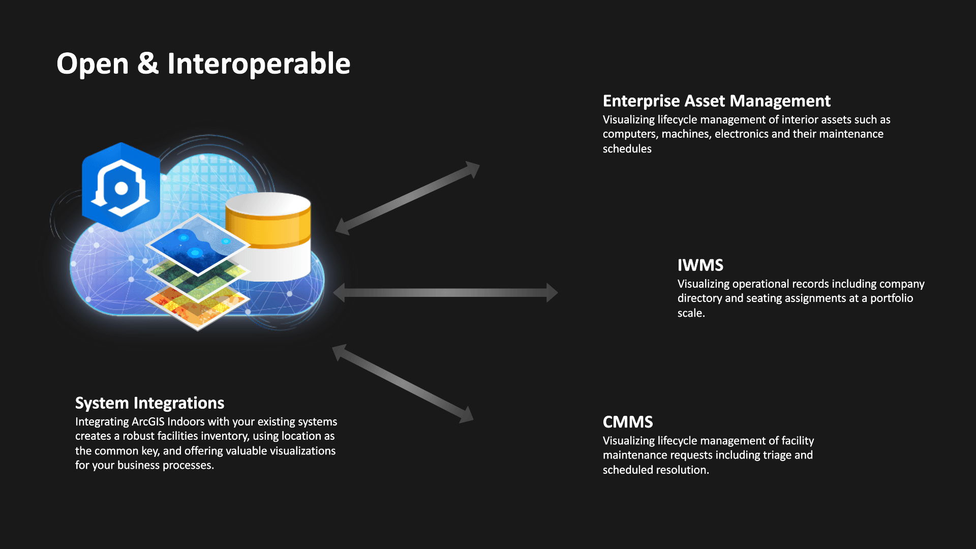
By quickly moving all data into a single, scalable, continuous spatial database, users can move with speed past the challenging obstacle of map-data preparation. Users can also integrate solutions in the Cisco DNA Spaces App Center such as IWMS with IBM TRIRIGA, and real-time sensor data from Cisco Marketplace partners such as Kontackt.io. With an accurate and complete system of record, facility information management and data sharing are within easy reach, as well as space assignment and management, work location reservation, asset tracking and maintenance, indoor map and app making, wayfinding, and more.